LARKI 3D Survey Platform showcases New Releases
Contact
Sep 30, 2022
LARKI 3D Survey Platform showcases New Releases
Sydney- and Melbourne-based proptech LARKI, the 3D survey tech platform for architecture, has showcased the platform’s new releases via a live streamed webinar that also included audience polls and Q&A.
-
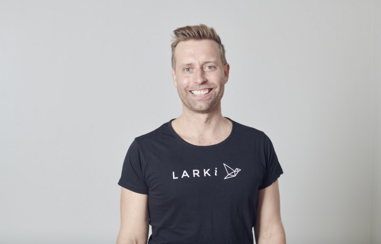 LARKI’s Founder & CEO Simon Cookes.
Sydney- and Melbourne-based proptech LARKI, the 3D survey tech platform for architecture, has showcased the platform’s new releases via a live streamed webinar that also included audience polls and Q&A.
LARKI’s Founder & CEO Simon Cookes is an award-winning registered architect with 23 years’ experience in the industry. He is also a 3D surveying expert who is passionate about the benefits of 3D laser scanning, including accuracy, detail and speed.
Cookes founded the proptech venture in 2016 to solve the core problems with traditional manual land surveys.
“There’s a big disconnect between architects and surveyors,” he said. “The vast majority of architects use 3D design software but surveyors deliver them 2D inputs. It’s not an efficient workflow. Too often, architects simply don’t have enough site information.”
Cookes cited context detail, elevations, powerlines, heritage features and trees as examples of this missing information and noted that 60% of planning permit applications in Metro Melbourne result in a Request For Information (RFI) from the authorities.
“Architects can find there are errors in their drawings because they didn’t have the right information at the start of the project. This means projects are delayed by weeks or sometimes months, which adds to holding costs that need to be passed onto consumers making property more expensive,” Cookes said.
The solution is fast and affordable 3D laser scanned surveys which can be ordered online from LARKI’s website.
The data is captured by LiDAR, which stands for light detection and ranging, and is a system that works on the principle of radar but uses light from a laser. Working with its imaging partners, LARKI obtains a range of viewpoints and resolutions such as aerial, streetscape, drone and tripod data, which is then turned into 3D point clouds containing millions of measurable points.
In most cases the point clouds are available within a maximum of two hours and the platform also offers high-resolution 2D maps, file sharing and a 3D viewer on the web app.
Use cases for the proptech’s products extend beyond architects to include property developers, master planners, engineers, builders, logistics managers and even individual homeowners.
A case study shared with the live audience included a Sydney Australia homeowner who remotely managed a home enhancement project while living in the UK. He could access the laser scanned and Building Information Model (BIM) - “digital twin” - of his property on the LARKI platform.
The new platform features just released by LARKI include the ability to search a project site straight from the homepage and then access instant scope area suggestions for 3D point clouds to save time with survey briefs.
During the webinar, Cookes also demonstrated the new ability to create shapes on a high-res 2D map to work out distances and areas and also to facilitate master planning. These geo-positioned shapes can be saved and downloaded to use in standard CAD software.
Via a live poll, the audience agreed that the biggest benefit of the LARKI platform is the time saving, with the second most valuable benefit being risk reduction, which is vitally important for built environment professionals.
Ease of use and cost savings were also voted positively.
“Tech is great at saving time and, as a tech company, that’s the best feedback,” Cookes said.
The recording of the webinar is available to replay here.
Contact Details:


